Mauritania's Geography
- Mauritania's absolute location is 2000 North longitude and 1200 West latitude.
- Almost 40% of Mauritanian exports are iron ore. Other natural resources are diamonds, copper, phosphate, oil, gypsum, fish, and gold.
- Mauritania's most amazing feature is known as 'The eye of Africa'. it is a structure that looks like an enormous blue eye.
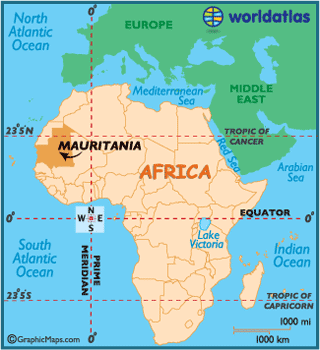
- Mauritania's relative location is northern Africa, east of the Atlantic Ocean, south of Morocco, west of Mali, north of Senegal and south of Algeria.
- The total area is 1,030,700 sq km with a land area of 1,030,400 sq km and water of 300 sq km.
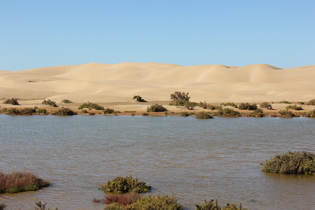
- The climate is mostly dry, hot, and dusty.
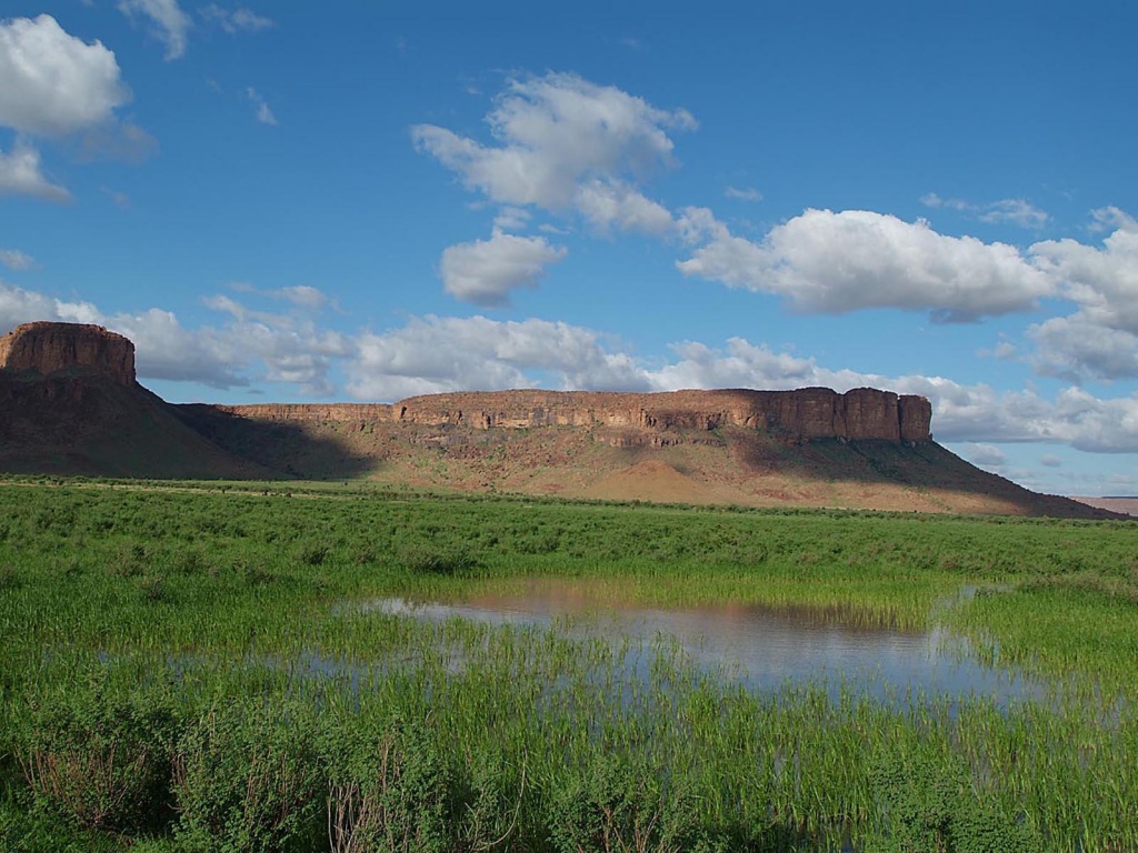
- The territory of Mauritania is mostly infertile, as it is mostly dessert.
- The highest point in Mauritania is Mt. Ijill which is 915 meters high.
- The lowest point in Mauritania is Sekhbet Te-n-Dghamcha at 5 meters below sea level.
- Almost 40% of Mauritanian exports are iron ore. Other natural resources are diamonds, copper, phosphate, oil, gypsum, fish, and gold.
- Mauritania's most amazing feature is known as 'The eye of Africa'. it is a structure that looks like an enormous blue eye.
- Mauritania's relative location is northern Africa, east of the Atlantic Ocean, south of Morocco, west of Mali, north of Senegal and south of Algeria.
- The total area is 1,030,700 sq km with a land area of 1,030,400 sq km and water of 300 sq km.
- The climate is mostly dry, hot, and dusty.
- The territory of Mauritania is mostly infertile, as it is mostly dessert.
- The highest point in Mauritania is Mt. Ijill which is 915 meters high.
- The lowest point in Mauritania is Sekhbet Te-n-Dghamcha at 5 meters below sea level.
Geography Elements
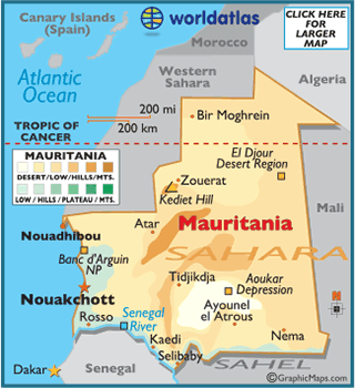
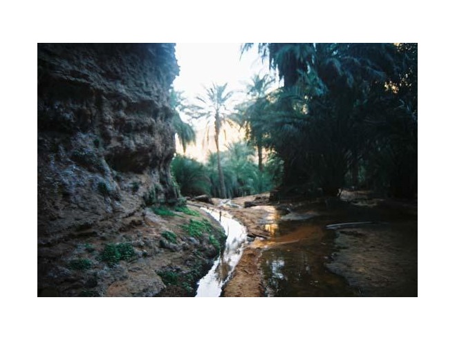
Mauritania is mostly a vast dessert, but far to the south along the side of the Senegal river is the state of Kahidi, where savannas and rain forests can be found. Because of it's lack of fertile soil, most of Mauritania's vegetation comes from Kahidi. The shores of the Atlantic Ocean are the most populated areas in the country. The capital of Mauritania, Nouakchott, which is also the largest city is located there. The economic capital is Nouadhibou, which is located on the northern cost. it has a population of 750,000. These two cities are some of the largest fishing zones in the world. The middle of the country is a big dessert. Every day the dessert is expanding north.
Mauritania is divided into twelve wilaya's or regions, and a the district capital.
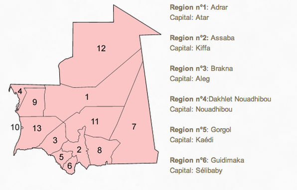
Region n°7: Hodh Ech Chargu
Capital: Néma
Region n°8: Hodh El Gharbi
Capital: Ayoun El Atrous
Region n°9: Inchiri
Capital: Akjoujt
Region n°10: Nouakchott
Capital: District capital
Region n°11: Tagant
Capital: Tidjikja
Region n°12: Tirs Zemmour
Capital: F'dérik
Region n°13: Trarza
Capital: Roso
Capital: Néma
Region n°8: Hodh El Gharbi
Capital: Ayoun El Atrous
Region n°9: Inchiri
Capital: Akjoujt
Region n°10: Nouakchott
Capital: District capital
Region n°11: Tagant
Capital: Tidjikja
Region n°12: Tirs Zemmour
Capital: F'dérik
Region n°13: Trarza
Capital: Roso
